
TripleSat
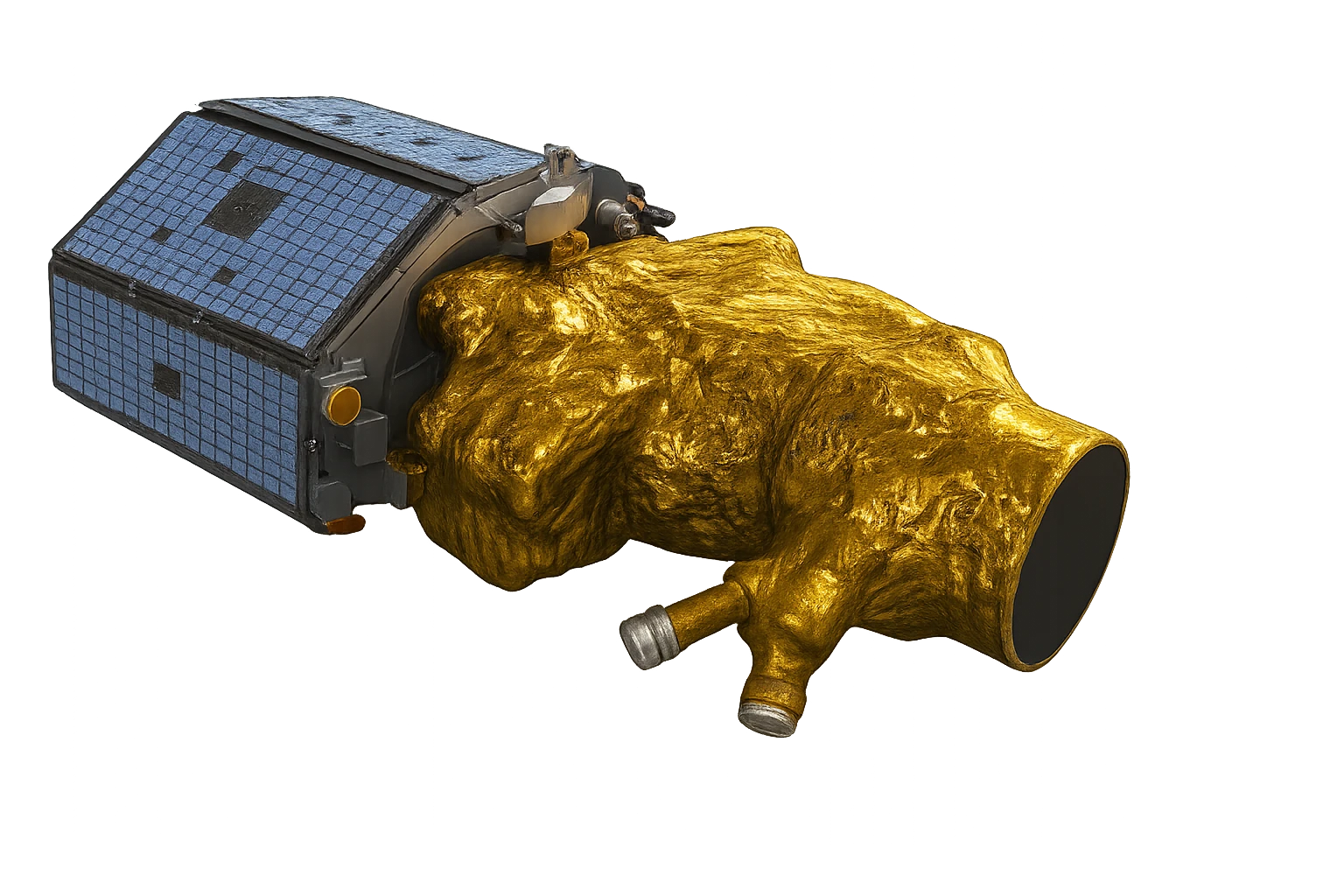
TripleSat is three 80cm satellites, launched in 2015, collecting panchromatic and four-band multispectral imagery across a 24km swath.
Rate card
A$10 per km² from the archive
| Product | Archive per km² | Tasking per km² |
|---|---|---|
| Triple Sat 80 cm · min width 2 km | A$10 min 15 km² | Archive only |
| Triple Sat stereo 80 cm · min width 2 km | A$20 min 15 km² | Archive only |
- Excl. tax, Australian dollars, processing included on optical orders.
- Smaller areas are billed at the minimum. Narrower parts are widened to the minimum width.
- Stereo includes the DSM, DTM and height above ground.
How it arrives
- Files
- Cloud-Optimised GeoTIFF with STAC metadata
- Processing
- Orthorectified, pansharpened, colour-balanced, mosaicked
- Included
- Raw scenes, orthorectified scenes, surface reflectance, pansharpened, mosaic, QA report
- Sign-off
- An analyst signs off every delivery
- Delivery
- Most orders within 24 hours, archive often the same day
Samples are by application: apply, a short call, then the sample.
Apply for a sample →Technical specifications
What you can do with TripleSat
Detail at 80cm GSD
At 80cm GSD, buildings, road networks, field boundaries and mature trees read clearly, while street-level objects do not. The panchromatic band carries that geometry, and the 3.2m GSD multispectral bands are pansharpened against it, so colour products hold the same detail.
Standard index bands
Blue, green, red and near-infrared cover the everyday products: true colour, colour infrared, and the indices built from red and near-infrared (NDVI) or green and near-infrared (NDWI). Those index rasters carry the 3.2m GSD multispectral sampling, not the 80cm GSD panchromatic figure.
3 satellites collecting
3 satellites fly this specification, so there are more chances of a usable pass inside a tasking window and a deeper archive to search before anything is tasked. As stated by the supplier: 2,000,000 km² per day of collection capacity. A large area of interest competes for that capacity with everything else in the queue.
Stereo for elevation
Stereo pairs are collectable, so elevation comes out of the imagery itself instead of a global model: landform, terrain and the massing of built-up areas across your site. A stereo order includes a surface model, a terrain model and height above ground.