
Infrastructure
Satellite imagery for construction and infrastructure
A dated record of a site or an alignment, taken by a satellite and delivered as one orthorectified image. Upload the boundary you already use on the project and you see the price before you order.
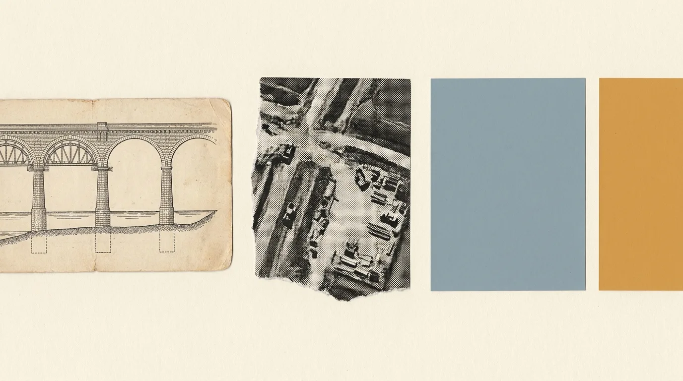
A progress record taken by someone with no stake in the claim
Every capture carries its acquisition date, and the contractor whose progress is in question had no hand in taking it. Book captures over the site weekly, monthly or quarterly. Order archive dates to fill in the months before anyone thought to look.
Our monitoring page shows what a long series looks like: the Western Sydney International Airport site, one clear Sentinel-2 pass a year. October 2018 is farmland and scattered houses. August 2026 has the runway, terminal, aprons and road links in place. Sentinel-2 is free in Pera Portal at 10 m. Where you need to see slabs, cranes and laydown, book sub-metre captures.
Settlement and earthworks need radar and stereo
Ground movement
Repeat radar passes, compared by interferometry (InSAR), show settlement around excavations, tunnels and new fill, and subsidence under ports and reclaimed land. Each job is scoped with you, and we check whether existing passes over the site are enough before anything is tasked.
Levels and heights
A stereo order includes a 0.5 m surface model, a bare-earth terrain model and height above ground. Use the terrain model for earthworks, contours and drainage. Height above ground gives vegetation clearance along rail and roads.
It shows where to inspect first
Each image shows what changed around the asset since the last look: new access tracks, scour, vegetation against a structure, stockpiles that weren't there before. Use it to decide where inspection and survey go first.
Optical imagery needs daylight and a clear enough sky. Radar works through cloud and at night, at the cost of colour.
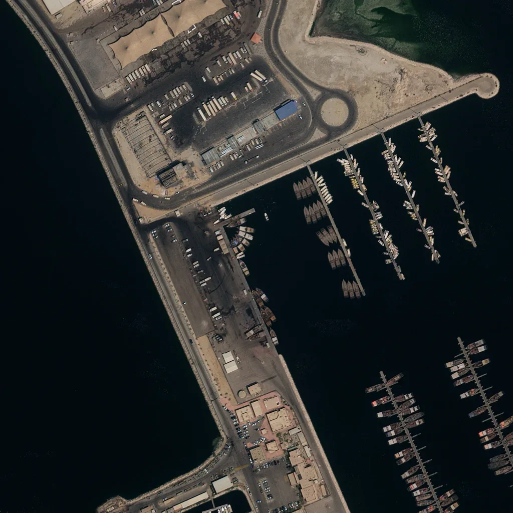
Bring the site boundary you already use
Upload it in Pera Portal and you see every archive capture over the site, with its date and price, before you order anything. For a corridor, a portfolio or an InSAR job, send it to us and we'll scope it.